

If you’ve ever wondered why Brooklyn allowed itself to be swallowed up by New York City, a trip to Ridgewood Reservoir in Highland Park may provide some answers. Built in 1859 to supply the once-independent City of Brooklyn with clean fresh water, Ridgewood Reservoir drew upon natural streams in what are now Queens and Nassau counties, connected by a 12-mile-long masonry conduit called the Ridgewood Aqueduct, an early infrastructure now remembered in local place names like “Aqueduct” Racetrack and “Conduit” Avenue.
But the natural surface water supplies proved to be insufficient following rapid population growth in the late 19th century, so Brooklyn opted to consolidate with New York City in order to gain access to more abundant water supplies from the Hudson Valley and Catskill mountains, and thus secure its future growth and prosperity.
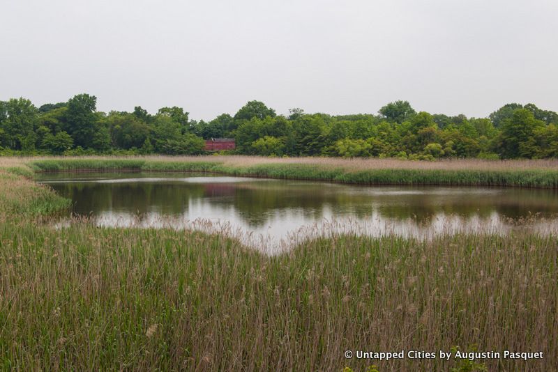
Brooklyn’s existence as an independent city may have ended on New Year’s Day 1898, but Ridgewood Reservoir remained in use for water storage until the 1980s, when it was finally closed and drained. Since then nature has reclaimed the landscape, undergoing a slow transformation from public infrastructure into a peaceful 50-acre oasis of forest and wetland habitat that provides a perfect case study of post-industrial biodiversity and ecological succession while offering rich possibilities for urban recreation as well as historic preservation.
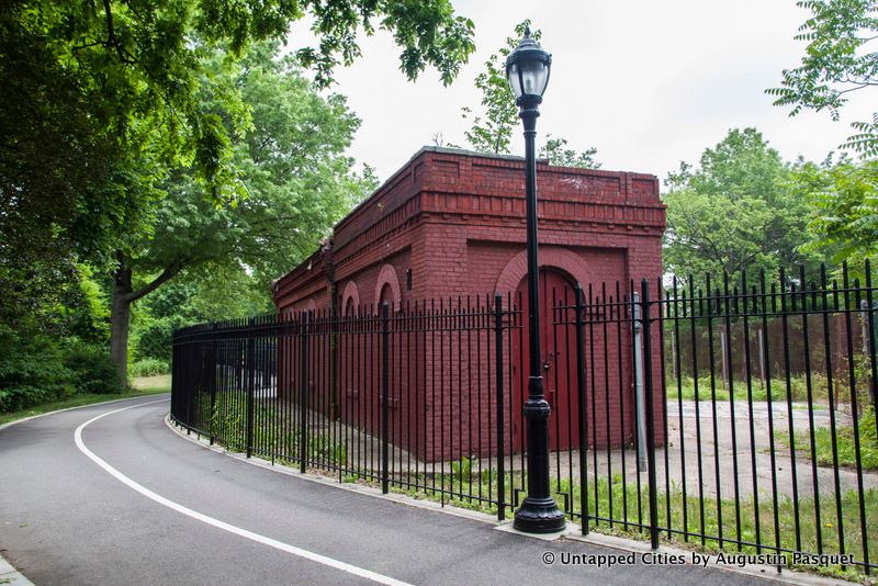
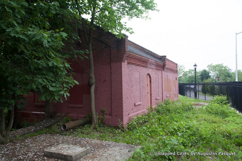
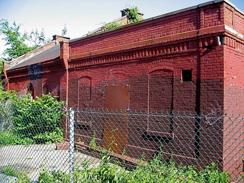
The story of Ridgewood Reservoir was highlighted early in December by Matt Malina, founder and director of water advocacy non-profit NYC H2O, at a City Hall hearing about NYC Parks Department properties that are currently inaccessible to the public. In the years since Ridgewood Reservoir was transferred to Parks’ jurisdiction in 2004, some sections have benefited from improvements like walking and biking trails, but the reservoir basins themselves are still off-limits, as are the stately red-brick Gate Houses (one built in 1858, the other in 1889) which once controlled the flow of water from the reservoir to Brooklyn’s homes and businesses.
The Gate Houses, which still contain much of the original mechanisms and equipment, have been proposed for conversion into a museum or educational center, but for now they stand as mute reminders of New York City’s convoluted evolution into a global city, not to mention the historic interdependence between the natural and man-made worlds.
As with anything to do with public lands in New York City, the future of Ridgewood Reservoir is a topic of ongoing debate, especially as plans for government investment in the adjacent communities of East New York come closer to reality. If you want to get involved or learn more, local NY City Council Members Elizabeth Crowley and Rafael Espinal are coordinating public meetings and outreach efforts, and in warmer months NYC H2O offers guided tours for school groups and members of the general public.
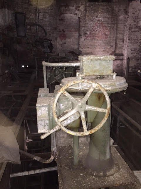
Photo via dcap David Cunningham Architecture + Planning
To whet your appetite, check out the online archive of old Ridgewood postcards at Tapeshare.
Interested in knowing more about NYC before it was a the cosmopolitan, global city of today? Join us for a tour of the Remnants of Dutch New Amsterdam


