


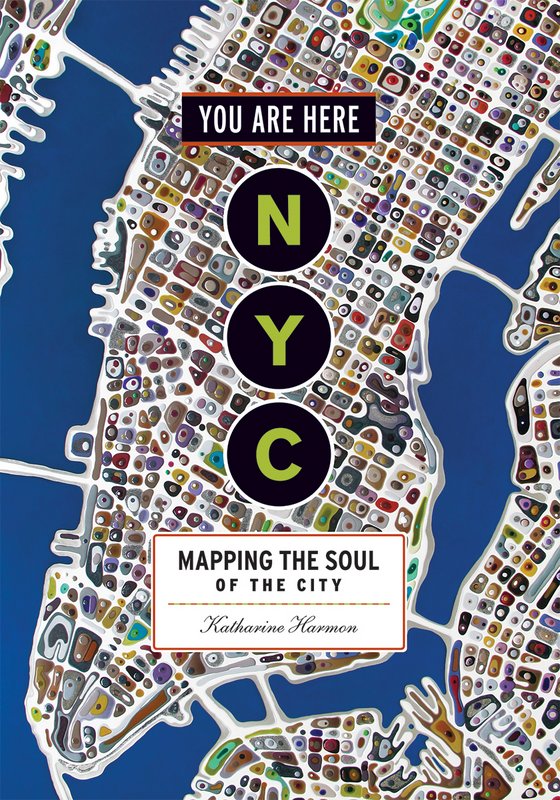
 Cover, published by Princeton Architectural Press, 2016.
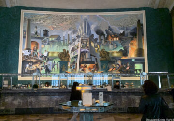
Here at Untapped we like to share with you fun maps that depict New York City in a strange, new, funny or exciting way. In You Are Here: NYC: Mapping the Soul of the City, a stunning collection of some 200 maps of 400 years of New York City history, author Katharine Harmon delivers charts every representation of the five boroughs and the cultures and people that have shaped each neighborhood, creating colorful and interesting representations of the city’s past, present and future. Below you’ll find complied a list of some of the interesting perspectives Harmon’s collection has to offer.
1. Greatest New York
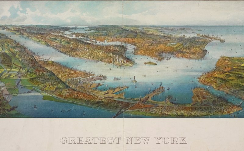 Henry Wellge: Greatest New York, 1911. Lionel Pincus and Princess Firyal Map Division, New York Public Library
German-born map artist and publisher Henry Wellge produced more than 150 perspective renderings of small US cities. This bird’s-eye view of New York City was a popular cartographic form in the 1840s through the earlier 20th century. It offers an oblique aerial vista from an imaginary perspective, certainly giving the city an impressive and grand feeling.