
A New York City Landmark doesn’t have to be a building. As you’ll discover in this list, landmarks come in all types of shapes and sizes, from the giant Unisphere in Flushing Meadows-Corona Park to the historic cast-iron lamposts of Broadway. We’ve combed through the Landmarks Preservation Commission (LPC) designation reports to compile the most unique, non-building New York City landmarks. These don’t include interior landmarks (of which the IRT subway stations are included) or scenic landmarks.
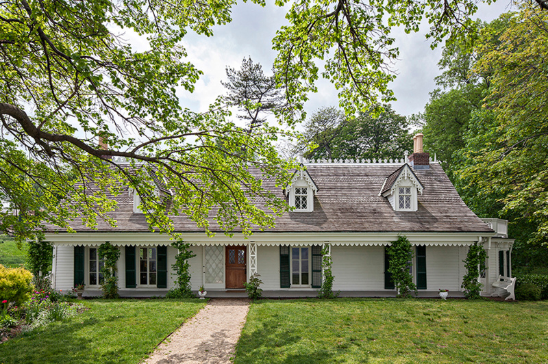
Over the past 50 years, the New York Landmarks Conservancy has helped campaign for landmark designation for hundreds of sites across the five boroughs. Once the LPC does its job of assigning designations, the Conservancy, a separate non-profit organization founded in 1973, continues to offer assistance to the people who care for those New York City landmarks via financial and technical support. On March 7th, join Peg Breen, President of the New York Landmarks Conservancy, for a virtual talk with Untapped New York Insiders to celebrate the 50th anniversary of the Conservancy! In this live-streamed talk, Breen will discuss some of the most interesting sites the Conservancy has worked on over the past five decades, including the oldest residence in Manhattan, the site where Frederick Law Olmsted began his landscape design career, and one of the earliest free, African-American settlements in the country.
NY Landmarks Conservancy Talk
This virtual talk is free for Untapped New York Insiders. Not an Insider yet? Become a member today to gain access to free in-person and virtual events every week!
1. The Street Grid of Lower Manhattan
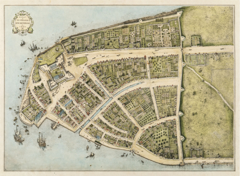
One of New York City’s largest landmarks is the street grid of Lower Manhattan, a remnant of Dutch New Amsterdam. The colonial street plan was designated a landmark in 1983. A bronze sculpture of the map can be found at State Street, between the Staten Island Ferry and Whitehall Street. It shows the streets as they appear on the Castello Plan, a 1660 map of Dutch New Amsterdam.
Though they may appear to have different names, streets on the map like Begijn Gracht, Paerel Straet, and Brugh Straet are the same streets we walk today. Now they have anglicized names: Beaver Street, Pearl Street, and Bridge Street. When the British took control in 1664, they changed the names but kept the layout the same. One of the streets even runs through a modern building.