
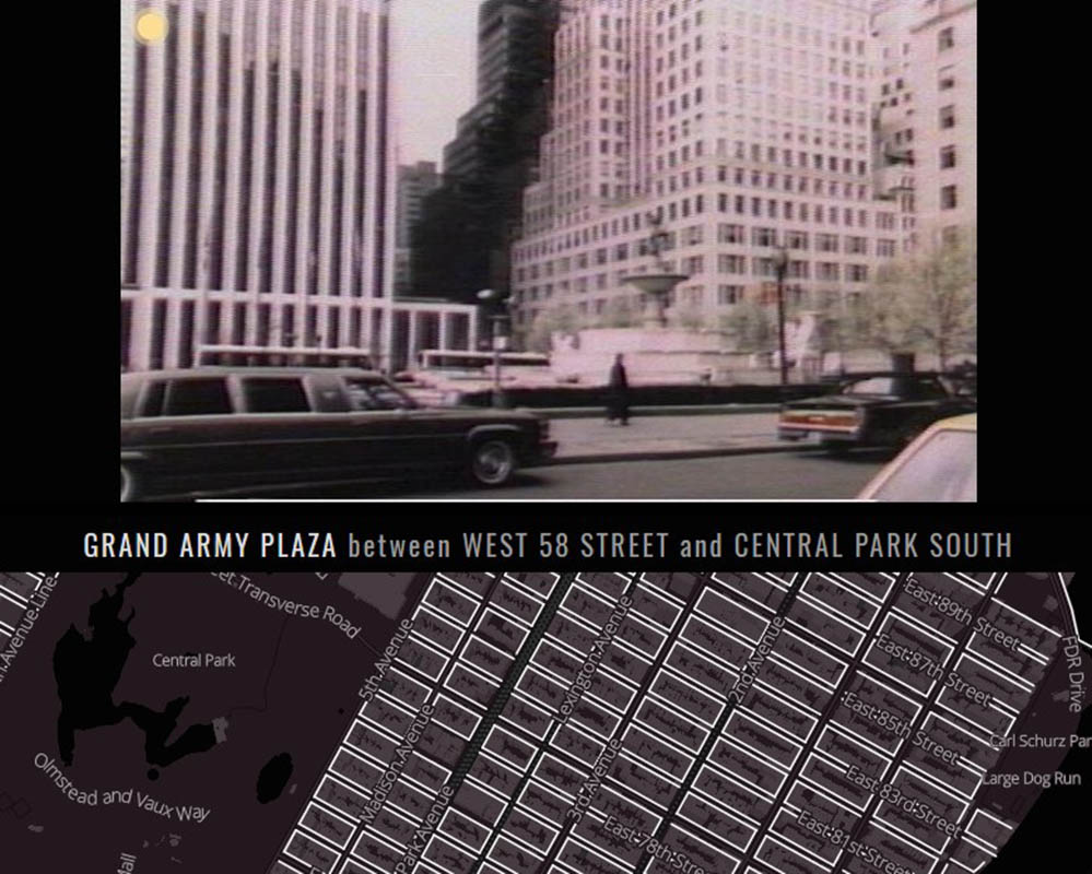
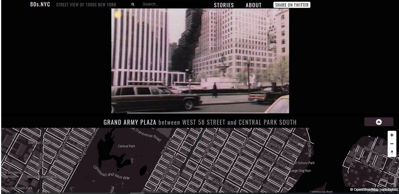
 Grand Army Plaza in the 1980s. Image via 80s.NYC
80s.NYC is an interactive map that provides a street view of New York City in the 1980s. Using old photos from the New York City Municipal Archives, you get a full view of what the city used to look like, and for those who have lived in New York during the ’80s, you can see how much has changed and stayed the same.
The map was made by Brandon Liu, in charge of the Geographical Information System (GIS) and programming, and Jeremy Lechtzin who was in charge of providing the history and research that went into the map.
 The historic F. W. Woolworth building in Astoria, Queens. Image via 80s.NYC
The photos come from City-commissioned photographs taken over a five-year period in the 1980s that the Department of Finance used to record real property values of buildings and vacant lots to estimate their worth for taxation purposes. Every piece of property in the five boroughs were photographed.
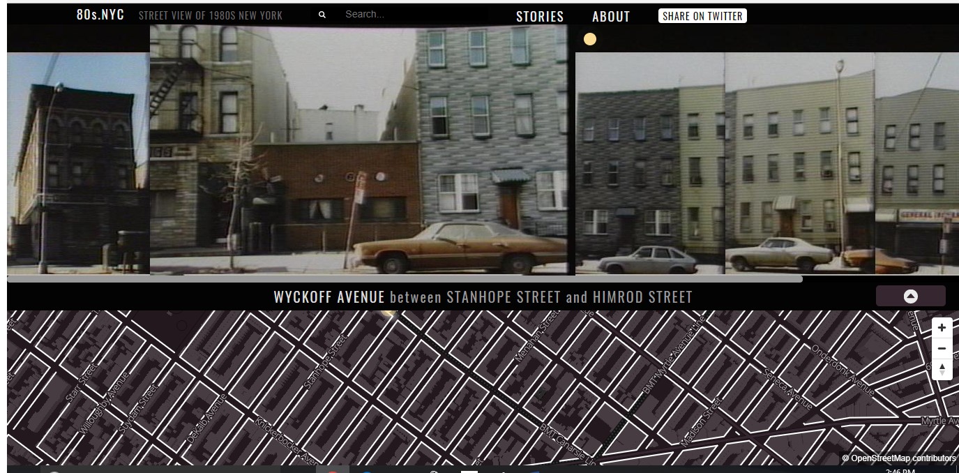 Wyckoff Avenue between Stanhope Street and Himrod Street in Brooklyn in the 1980s. Image via 80s.NYC
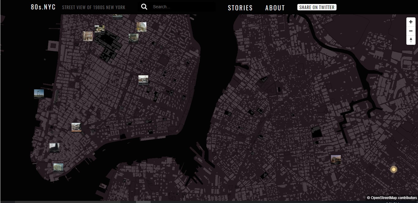 Overview of downtown Manhattan and Brooklyn on 1980s map. While clicking on any street on the map can garner images of that street in the ’80s, the thumbnail images are noteworthy. Image via 80s.NYC
Because of the difficulty of differentiating between taxable and tax-exempt buildings, the photographers took pictures of everything. This left over 800,000 35mm color photographs in both negative and print formats for the developers to choose from.
However, those thumbnail photos can appear small, grainy and washed out because of the low-resolution TIFF images that the Archives extracted from the Laser Video Disks (LVD). The Finance Department used analog video captures to record the photographs, so each TIFF image came from each frame of the LVDs.
Despite that, these images still grant us privy to the “grandeur and glory of the greatest city in the world” in that decade.
Next, check out 5 Fun Maps to Discover at the Museum of the City of New York and The Incredibly Detailed Diorama Maps of NYC and Other Cities by Sohei Nishino.