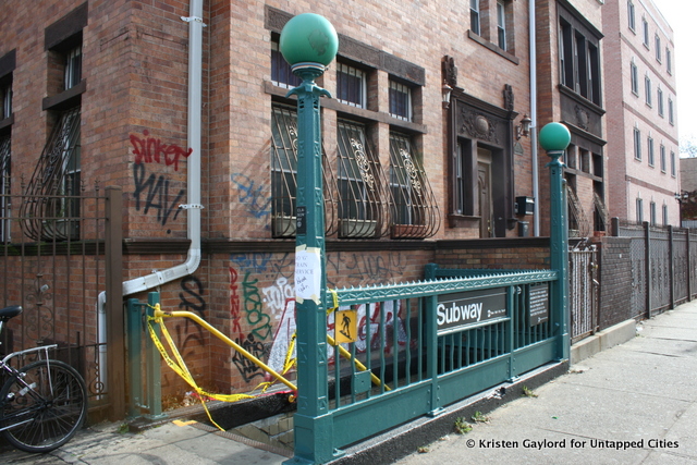
Not everyone checks the transportation conversation on Twitter as obsessively as I do, but even a casual visitor over the past week would notice that the G train was on the mind of transit-interested New Yorkers, and probably most of the people living in North Brooklyn. While the G was down from Hurricane Sandy, the MTA refused to give predictions of when the IND Crosstown service would be back online, with conspiracy theorists claiming that reconstruction on the G would simply be delayed until we stop asking about it and the service becomes defunct.
I wouldn’t count on that happening. I know it’s a low-density line, and I understand that connecting Brooklyn and Manhattan was a main concern for the MTA (as a Windsor Terrace resident, I can attest that getting out of the borough was a nightmare for days). But as a typical “new” Brooklynite, I can also attest that the G is absolutely vital to my interests. It connects the hipster backbone of Long Island City, Williamsburg, and Park Slope. It cuts the commute time to Western Queens in half. It is the only subway winding its way through the heart of Bed-Stuy.
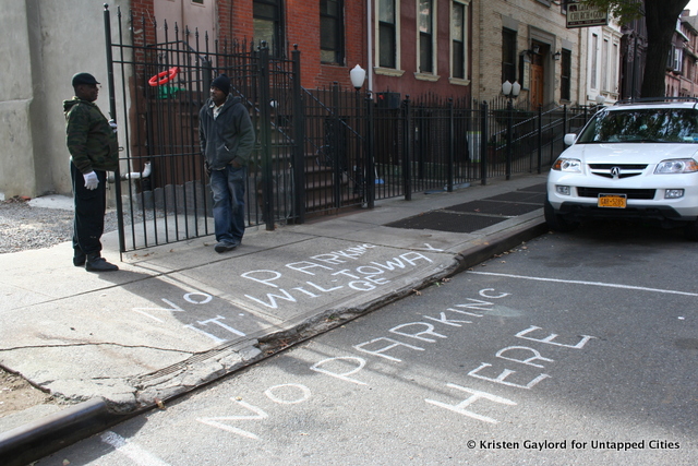
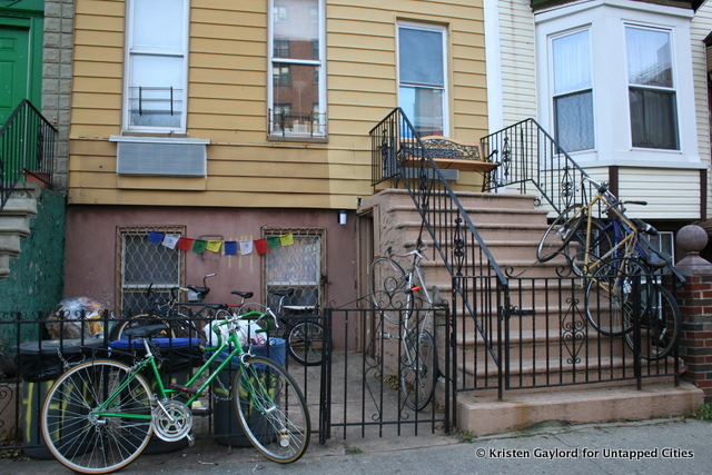
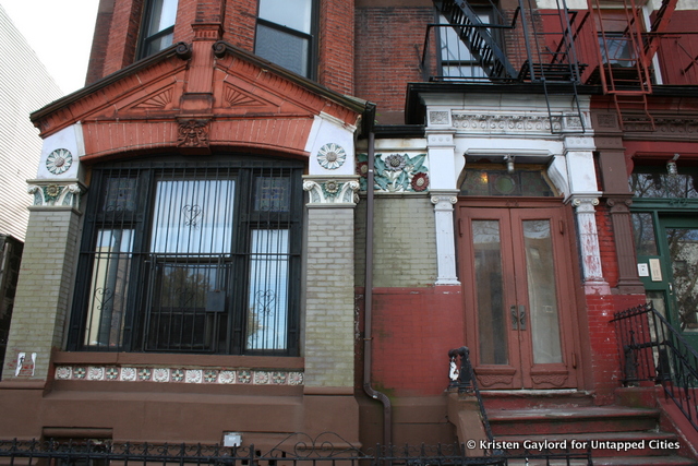
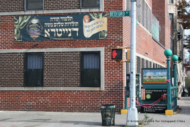
The MTA will not simply leave the IND Crosstown to rust, but as the only non-shuttle that doesn’t enter Manhattan I think the poor G often gets short shrift. So, while it was down for the count, I decided to appreciate the G, to “untap” it and show you the gems just above ground along the line.
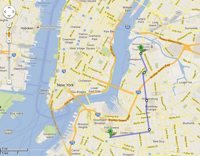
GoogleMaps told me that my journey from the first G-only stop, Fulton St., to the northernmost Brooklyn station, Greenpoint, would be 4.4 miles and take 1 hour and 27 minutes. Since I’ve found that GoogleMaps usually thinks my walking speed is a brisk jog, I planned for a longer trip. [Final time: 2 hours and 37 minutes]


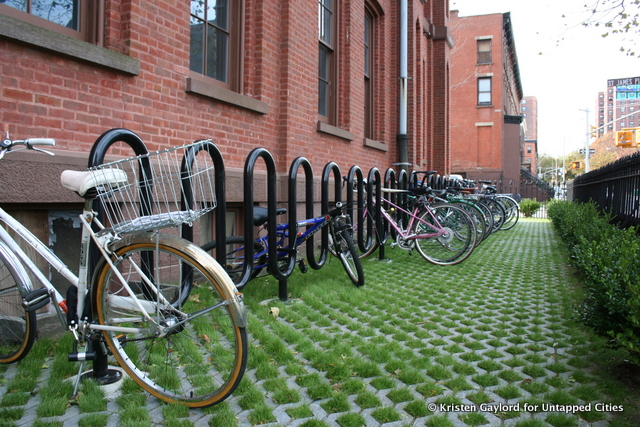
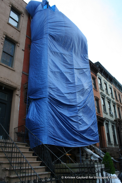
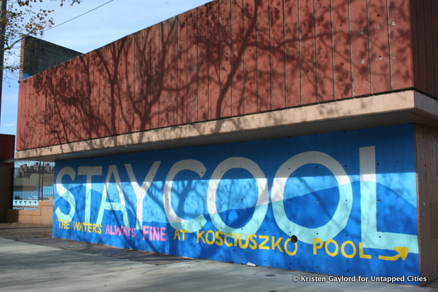
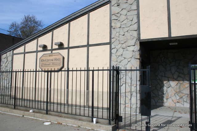

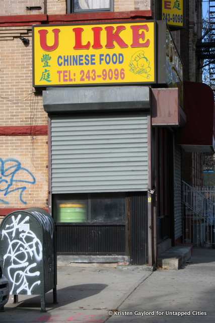
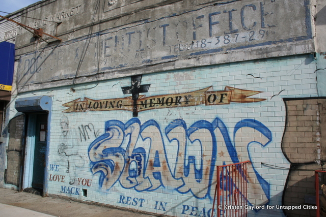
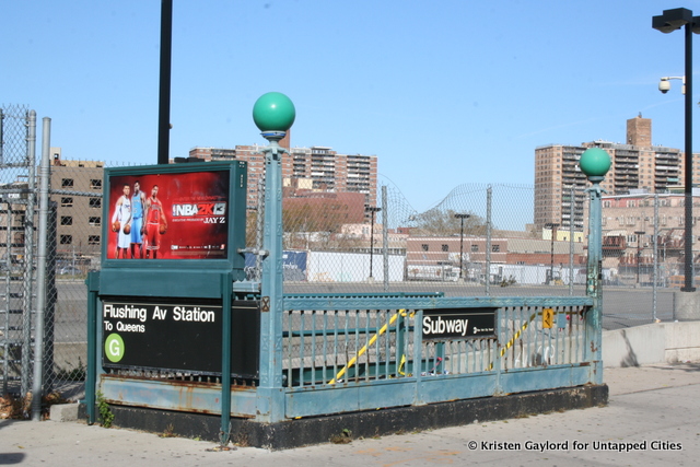
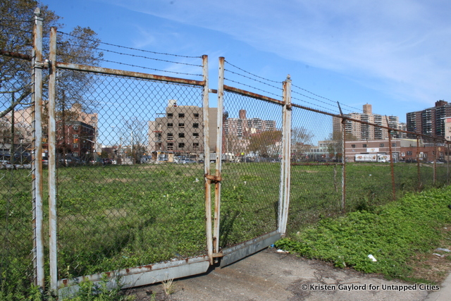
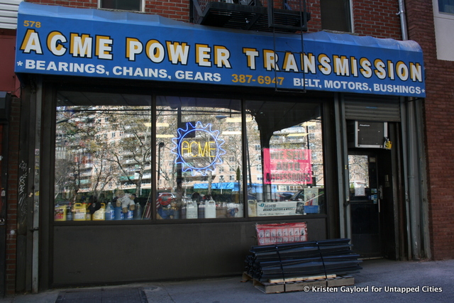
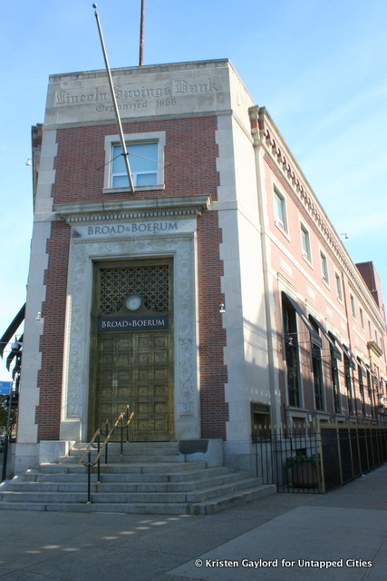
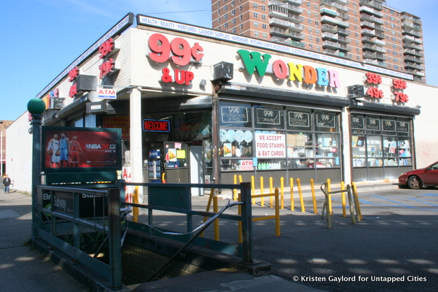
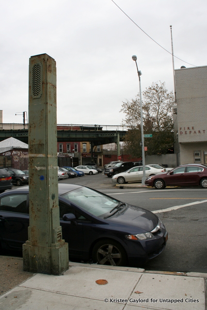
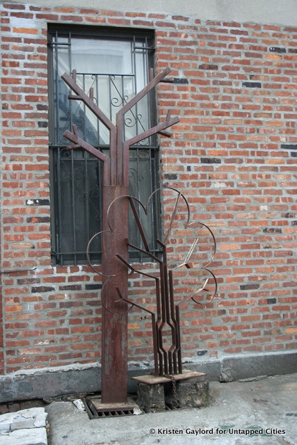
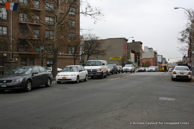
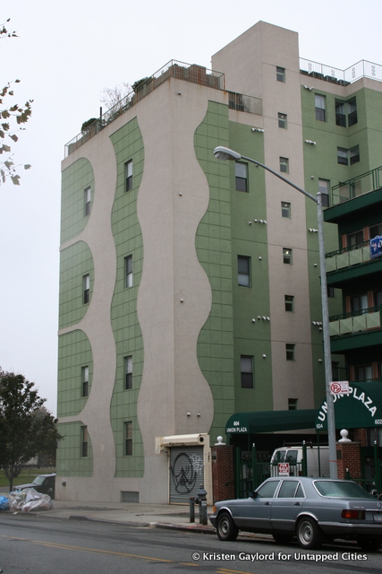
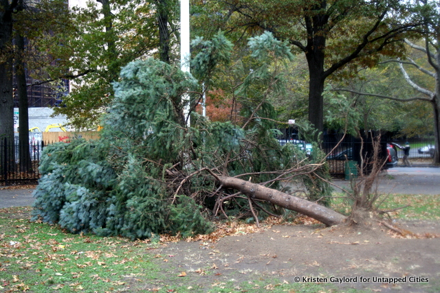
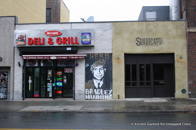
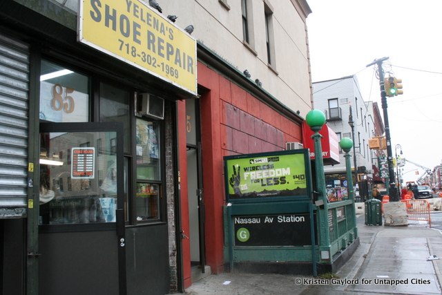


On Wednesday morning, G train service was brought back online, albeit slowly, and I’m more thankful for it than ever. At least now, as I wend my way northward, I’ll be able to imagine the route overhead.
Follow the author at @kaygegay


