


7. Manhattan Borough President’s Office Map Display
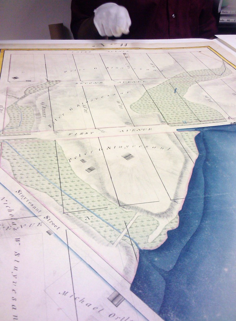
On OHNY Weekend, the Manhattan Borough President’s office will display an historically essential map in the development of Manhattan—executed by John Randel in 1820—that has never been displayed publicly in full (although you can also see it a version by request at the Library of Congress in Washington D.C.). This map is the first that plotted the 1811 “Commissioner’s Plan” which established the Manhattan street grid from Houston St. to 155th. The MBP’s Topographical Bureau is the sole repository for these 92 hand-drawn and hand-colored panels, which will be assembled into a room-size display, allowing map geeks to examine every part of the formative plan that has guided the development of Manhattan over the following 195 years.