In 1924, the Jazz Age was in full swing, Prohibition had driven alcohol consumption underground into speakeasies, and the Woolworth Building was the tallest skyscraper in the world. The subway had opened just 20 years prior, cars had replaced horses as the main mode of transportation, and the Gilded Age mansions of Fifth Avenue had yet to be torn down. It was a time of rapid growth for New York City, when technological advances were changing the way buildings were constructed and the new subway was making it easier to get around.
Join us on March 29th at 5 p.m. as we explore the five boroughs as they were in 1924, using high resolution aerial imagery available publicly from the NYC Department of City Planning. We will dive into the history of the city’s development, looking into infrastructure projects underway at the time and comparing the built environment of almost 100 year ago with today’s reality.
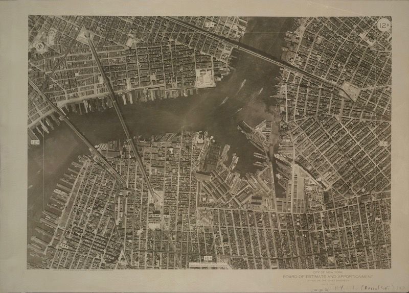
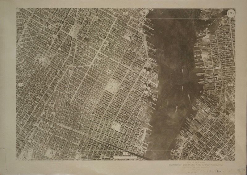
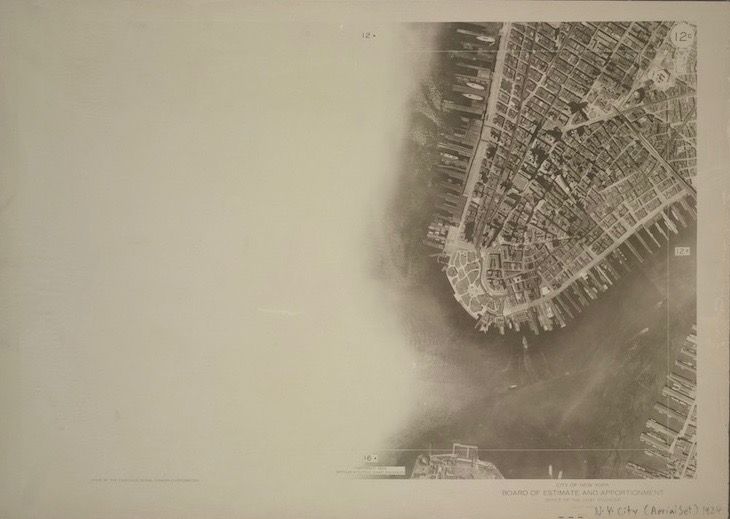
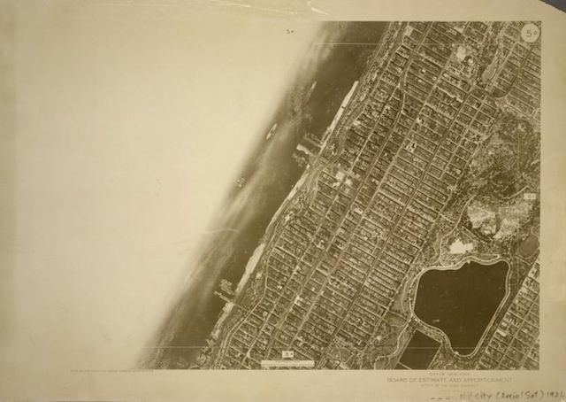
1924 aerial photo via NYPL’s Digital Collections1924 aerial photo via NYPL’s Digital Collections1924 aerial photo via NYPL’s Digital Collections
We’ll clearly see all five boroughs from above nearly 100 years ago in 1924, when the Woolworth Building was the tallest building in the world and the first aerial circumnavigation of the globe had just been completed. On Staten Island, we’ll find the three Staten Island Railway branches when today there remains only one. In Brooklyn, we’ll see old railroad lines not yet demolished, as well as Ebbets Field. In Queens, we’ll discover farmland and forests not yet developed and connected to the subway, and pristine wetlands still relatively untouched. In the Bronx, we’ll uncover intact neighborhoods not yet razed for highway construction. And in Manhattan, we’ll scope out Downtown, Midtown, Uptown, and see the borough when it had more people, more train lines, and wasn’t yet totally finished building out the original Penn Station and Grand Central Terminal complexes.
This virtual talk with Rayn Riel, licensed tour guide and subway expert, is free for Untapped New York Insiders. If you’re not an insider, become a member now (and use the code JOINUS to get one month free).
NYC by Air: Tracing the Geographical Evolution of the Modern City