


The routes we physically occupy determine our understanding of our city. We create mental maps, conforming our idea of the
A city's shapes are invisible from the the ground. These maps by Jazzberry Blue and Armelle Caron celebrate the incredible shapes we live within: the city block
A look at historic New York City Subway maps, starting in 1904, when the IRT, BMT and IND companies ran independent subway systems through Manhattan, Brooklyn and Queens. Plus, the MTA's Second Avenue Subway map with the new T Train.
Orienting your life to have optimal access to Chinese food in New York City is made possible using this map created by Dorothy Gambrell.
Since the early 20th century, there have been plans to fill in the Hudson River, East River and more around Manhattan. Maps by Dr Kennard Thompson, and more.
What if Manhattan itself decided to take vacation? Stopping at other cities to refuel and have a good time. Cartographer Bill Rankin experiments in these fun maps.
127 beautiful and extremely detailed aerial maps, forming a complete map of NYC in 1924, show a growing city in its adolescence.
There were farms on Manhattan. What?! Yes! And these maps from the New York Public Library’s digital gallery’s Atlases of New
Eric Fischer, self described as a “geek of maps, data visualization, failed transportation plans of the past, history of technology,
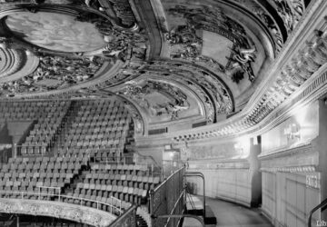
Maps and vintage photos, like these from the Lower East Side, available online at the fun website "Welcome to 1940s New York," all sourced from a 1943 book.