
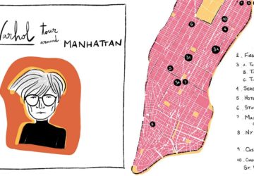
NYC-based Spanish illustrator Patricia Fernández shares with us a map of Andy Warhol's Manhattan, with illustrations of the buildings and places that the famous pop artist frequented.
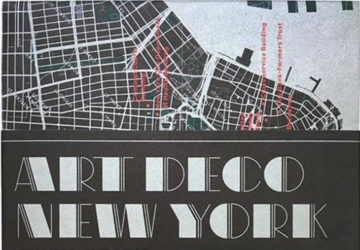
Discover stunning examples of Art Deco architecture in NYC, from skyscrapers and churches to bathhouses and abandoned sites, with a new handy map.
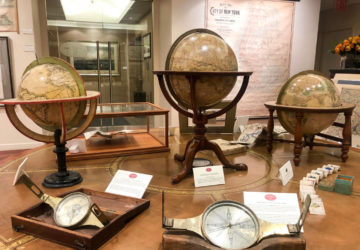
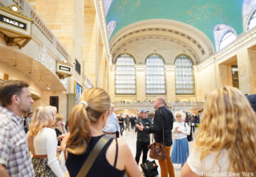
See one of the first subway maps on a special walkthrough of the Martayan Lan Gallery's antique map exhibit, "New Amsterdam to Metropolis: Historic Maps of NYC"!
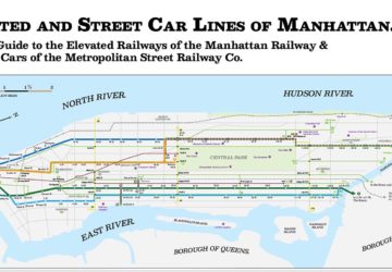
Jake Berman, a NYC-based artist takes long lost transit systems of New York City and other cities and turns them into modern subway style maps.
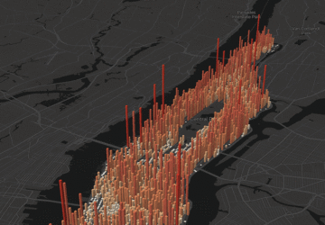
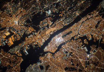
Manhattan is a constantly active hub, but a data visualization map paints a portrait of exactly how many people flow in and out of the borough, hour-by-hour.
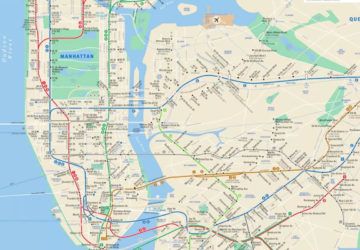
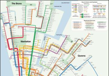
With the development of this new web application, you will no longer have to guess if your line is experiencing delays, service changes, or planned work.
This interactive map shows "dark-sky places," where urbanites can go to get away from New York City's intense light pollution to finally see the stars.
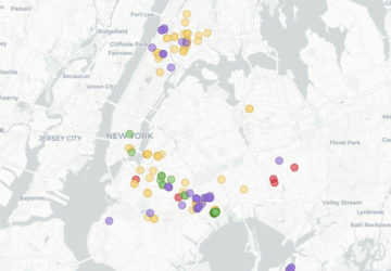
Thanks to a new, interactive map, we can see all of the city-owned lots sold to developers for $1 since Mayor Bill de Blasio took office in January 2014.
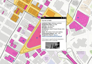
To make it easier for the public to learn the history behind NYC buildings, the Landmarks Preservation Commission has launched a new version of its web map.
This NYC Subway map by mapmaker Max Roberts reimagines the system in concentric circles and inspired by Massimo Vignelli's original subway map design.